
Professional Land Surveyor
Alabama PLS #11281
ALABAMA
SURVEYING
SERVICES
BY RAY W. SPORT
Serving Jefferson, Blount, St. Clair Counties, and surrounding areas. Based in Pinson, Alabama.
Surveying Experience Since 1969
Ray W. Sport, Alabama Professional Land Surveyor No. 11281, has been licensed in Alabama since June 18, 1976, with surveying field and office experience dating to 1969 — over 50 years of licensed practice. His work includes property boundary surveys, property divisions and subdivision maps and plats, topographic surveys, right-of-way and easement surveys including right-of-way dedications, record (as-built) surveys, plot plans, flood plain development permit surveys, construction-related surveying, and specific purpose surveys.
Ray serves Jefferson, Blount, St. Clair, and surrounding Alabama counties. Surveys are performed in accordance with the current Standards of Practice for Surveying in the State of Alabama, using field measurements, deed and plat research, recovered survey monuments, public records, and other relevant evidence as applicable to the type of survey performed. Boundary locations shown are the surveyor's professional opinion based on that evidence and applicable boundary law principles.

Land Surveying Services
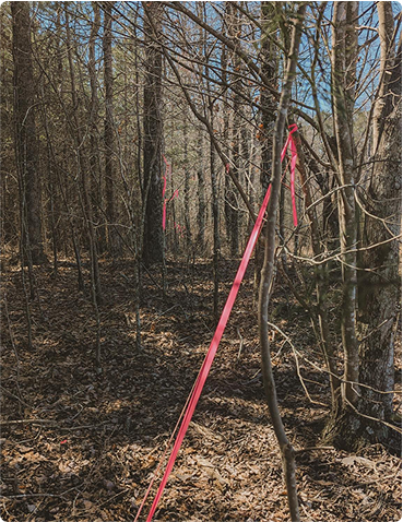
Boundary Surveys
A boundary survey determines the location of a property's boundary lines and corners using deeds, recorded plats, existing monuments, field evidence, and precise survey measurements. You may need a boundary survey when buying or selling property, building near a property line, installing a fence, resolving a boundary question, or when a lender, title company, or attorney requests survey information. A survey map is prepared showing the property boundary and relevant survey information.
Parcel Splitting
Parcel splitting divides an existing tract of land into two or more separate parcels. We establish the proposed division lines, calculate the resulting parcels, and prepare the information needed for the split. This service is commonly needed when selling part of a property, transferring land to family members, dividing an estate, or creating a separate parcel for a new home. A survey map is prepared showing the newly created parcels.
Subdivision Surveys
A subdivision survey divides a larger property into multiple lots and may include roads, rights-of-way, easements, lot dimensions, and other information required for development. You may need a subdivision survey when developing land for multiple homes, creating several lots for sale, or preparing property for future development. A subdivision plat is prepared showing the proposed lots and other required survey information.
Boundary Locate & Mark
Boundary Locate & Mark identifies existing property corners and marks boundary lines in the field so they are easier to see. This service is useful before installing a fence, clearing land, cutting timber, landscaping, building near a property line, or simply when you want to know where your property begins and ends.
Topographic Surveys
A topographic survey measures the shape, elevation, and visible features of the land. It can include contours, buildings, roads, drainage features, utilities, and other improvements. Topographic surveys are commonly needed for site planning, engineering, drainage design, grading, construction, and land development. A detailed topographic map is prepared showing the measured features and elevations.
Flood & Elevation Surveys
Flood and elevation surveys provide accurate ground and structure elevations in relation to established floodplain information. These surveys may be needed for FEMA Elevation Certificates, flood insurance, building permits, floodplain development, or determining how a structure relates to the Base Flood Elevation. A survey map is prepared showing the relevant property, structure, and elevation information.
As-Built & Plot Plan Surveys
As-built and plot plan surveys show the location of structures and other improvements on a property. Plot plans may be used for planning or permitting, while an as-built survey documents where improvements were actually constructed. These surveys can show buildings, driveways, utilities, setbacks, drainage features, and elevations when required. A survey map is prepared showing the improvements in relation to the property.
Construction Staking
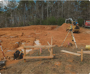
Construction staking transfers locations and elevations from construction plans onto the ground so contractors know where improvements should be built. We can provide staking for buildings, foundations, roads, utilities, grades, and other construction features to help ensure the project is built in the correct location and at the correct elevation. A survey map or staking plan is provided showing the relevant layout and construction information.
Easement Surveys
An easement survey locates or establishes an area where another person or entity has specific rights to use part of a property, such as for access, utilities, or drainage. Easement surveys may be needed when creating a new easement, locating an existing recorded easement, planning improvements, or preparing legal property documents. A survey map is prepared showing the easement in relation to the property.
Survey Control
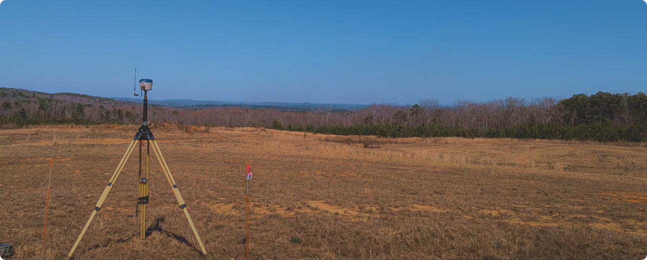
Survey control establishes precise reference points with known coordinates and elevations that can be used throughout a project. Using professional GNSS receivers and surveying equipment, we establish reliable control for construction, engineering, mapping, topographic surveys, and other projects that require accurate horizontal and vertical positioning.
Request a Survey Quote
Tell us a little about your property and the surveying service you need. Provide the property location, the type of survey you're looking for, and a brief description of your project. We'll review your request and contact you to discuss the scope of work, pricing, and the next steps.